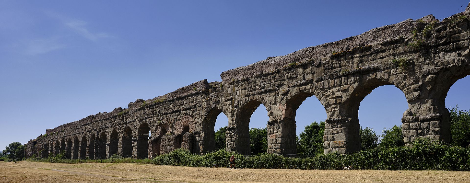
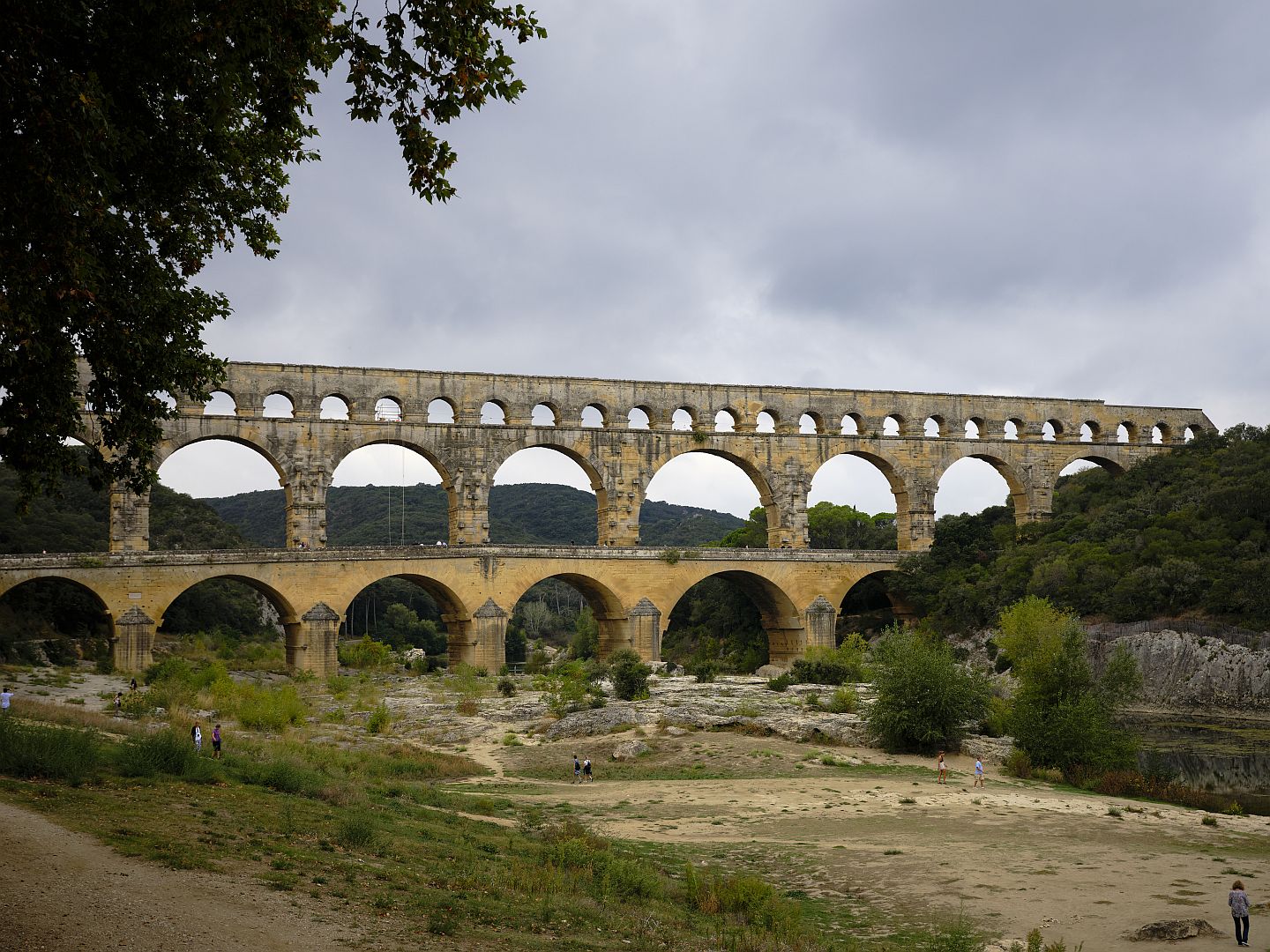
If you are a history nerd, it is hard not to get excited about Roman aqueducts (if you are the wife of a history nerd, it turns out to be quite easy). A surprising number of these survive: there is the magnificent Pont du Gard in Provence, as well as many others. A particularly fine example is on the northern approach to Civitavecchia, the port of Rome. But the classical – as it were – examples are to be found near Rome.
Necessity is the mother of invention, and the need in the case of Roman engineering was mainly the growth of Rome itself. The city needed feeding, it needed drainage, and it needed fresh water. A port was built at Ostia to allow food cargoes to be transhipped to vessels that would bring them up the Tiber to be offloaded at the great market of Testaccio. As far back as the 7th-6th Centuries, the inhabitants of what must still have been a group of villages drained the swampy area between the seven hills that was to become the Forum. Over time the drainage channel became the covered drain into the Tiber known as the Cloaca Maxima, which served not only to get rid of storm water but also sewage. What is really impressive is that the Cloaca Maxima is still in use (only for storm water, the sewage has its own system now). I must get a photo of its outlet into the Tiber one day.
But a big city needs fresh water if its population is to thrive, and getting it out of the Tiber was not a good idea.
There was – and still is – plenty of fresh water available not far from Rome. The Apennines are formed of porous limestone, and snowmelt and rain seeps down through the rock to emerge in springs at the base of the hills, filtered to a high degree of purity. Sometimes it is warmed by geothermal activity, but often it is very cold indeed. You can see the mountains from pretty much anywhere in Rome – but how to get the water from there? Aqueducts, of course.
The Romans weren’t the first to think of moving water from where nature supplied it to where humans needed it. From the first Neolithic farmer who dug an irrigation trench somewhere in Mesopotamia, to the Minoans and Ancient Greeks, not to mention in India and China, these cultures all left traces of artificial channels. Where the variation in the height of the terrain was too great, you were going to have to carry those channels in their own structures – aqueducts, in other words.
And when it came to aqueducts, it was the Romans, as they did with most other forms of engineering, who raised the standard far beyond what anyone else had achieved, or would achieve for many centuries after.
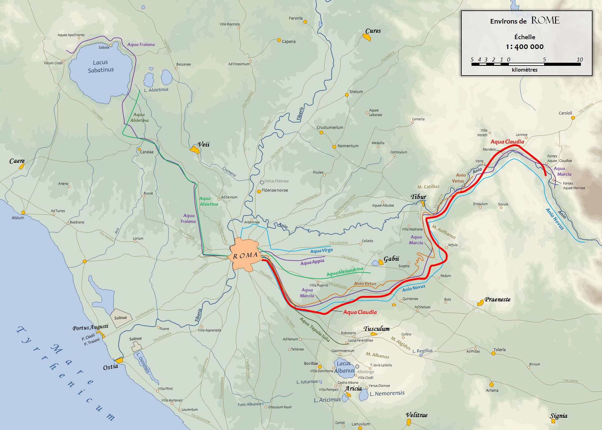
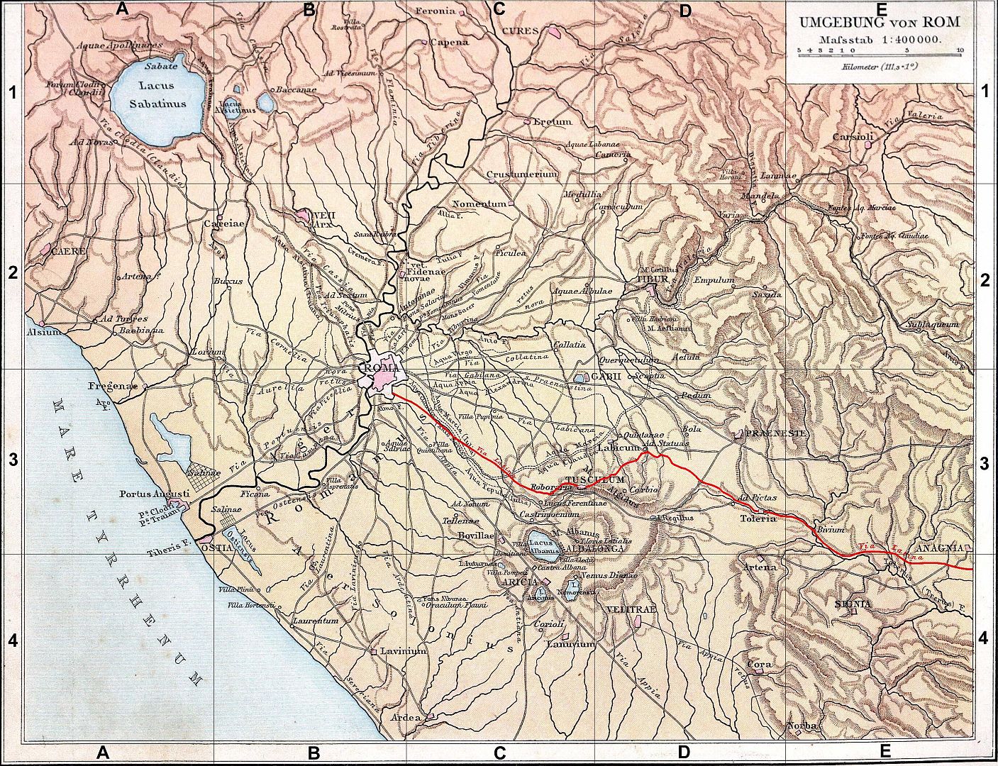
The first aqueduct to bring water from the Apennine foothills into Rome was the Aqua Appia, built in 312 BC. It was quite short – you can see it in purple on the map above. The big advance came one or two hundred years after that, with the invention of concrete. This lime-based mortar, with the addition of volcanic ash and stone rubble, was miraculous stuff. It would flow into spaces before setting, it would set hard under water, and it could be laid in or over wooden firmwork that was removed after the concrete set. After the fall of the empire the recipe was lost, and not reproduced for over a thousand years.
Building a hollow structure of brick or stone, then filling it with concrete, produced structures that were both stronger and lighter than all-stone would have been.
The Park of the Aqueducts
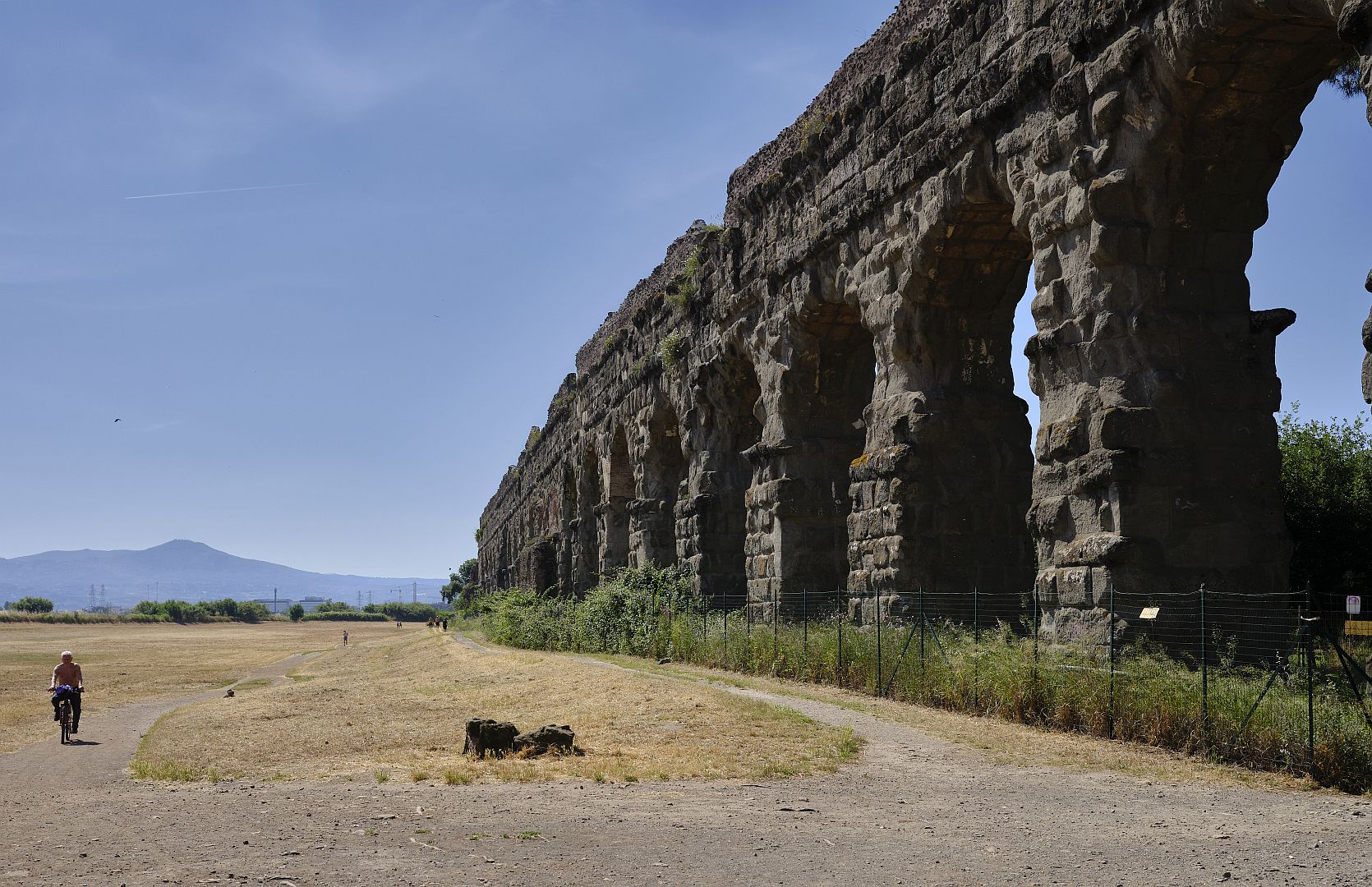
The most impressive remains of aqueducts around Rome are those of the Aqua Claudia, or Claudian Aqueduct, to be found in the Parco degli Acquedotti in the south-eastern suburbs of Rome. Earlier this year (2026) I spent a couple of days in Rome before heading back to Australia. Instead of our usual spot in the inner northern suburbs, I thought I would find somewhere to stay in the south – partly because I would have a very early departure to the airport at the end and wanted to be on the right side of town for Fiumicino Airport, and partly because I wanted to visit this park and the nearby Appian Way (to be the subject of a separate post).
The Parco degli Acquedotti is surrounded by urban sprawl, near the famous Cinecittà film studios. It is also under the flight path to Ciampino, Rome’s second airport. So as I walked along in the late spring sunshine I was regularly overflown by sleek business jets carrying wealthy people, and A320s and 737s from low-cost airlines, carrying budget travellers.
Having found somewhere to leave the car, I headed into the park. The initial impressions were mixed. There were definitely bits of aqueduct here, but badly overgrown. And with graffiti!
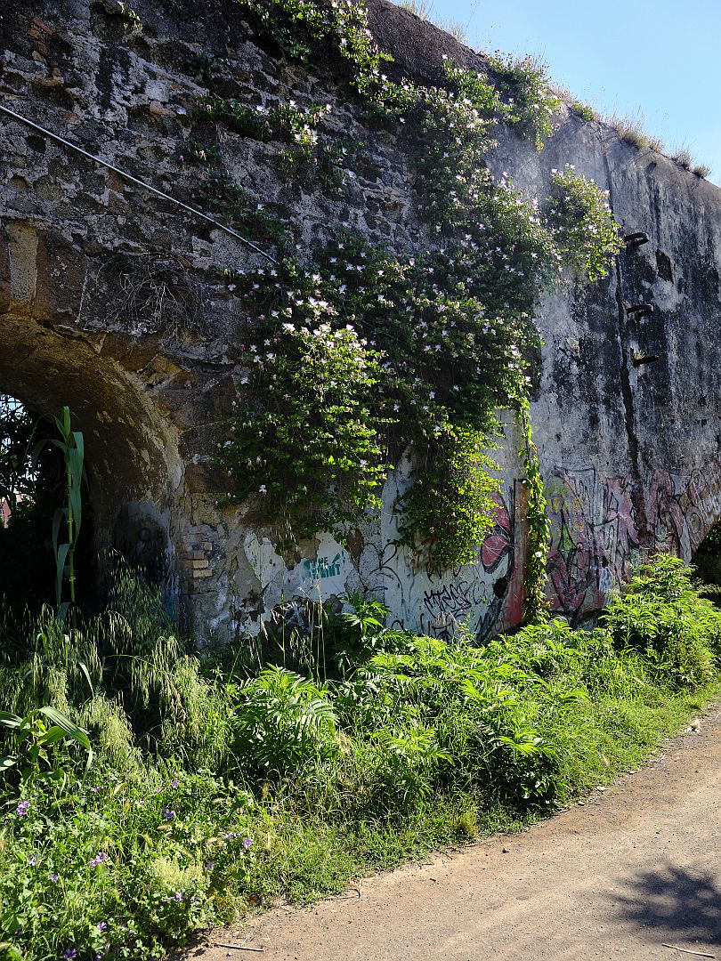
Later I established that this first aqueduct I encountered was the “Aqua Felice” – only dating from the 16th Century it is a mere youngster, but I don’t think even Renaissance architecture deserves graffiti. Passing under the Aqua Felice, I soon saw the much higher Aqua Claudia, but it too was looking a bit unloved; a railway line passed underneath it, protected by high fences and more undergrowth, in which stray plastic bags had been caught.
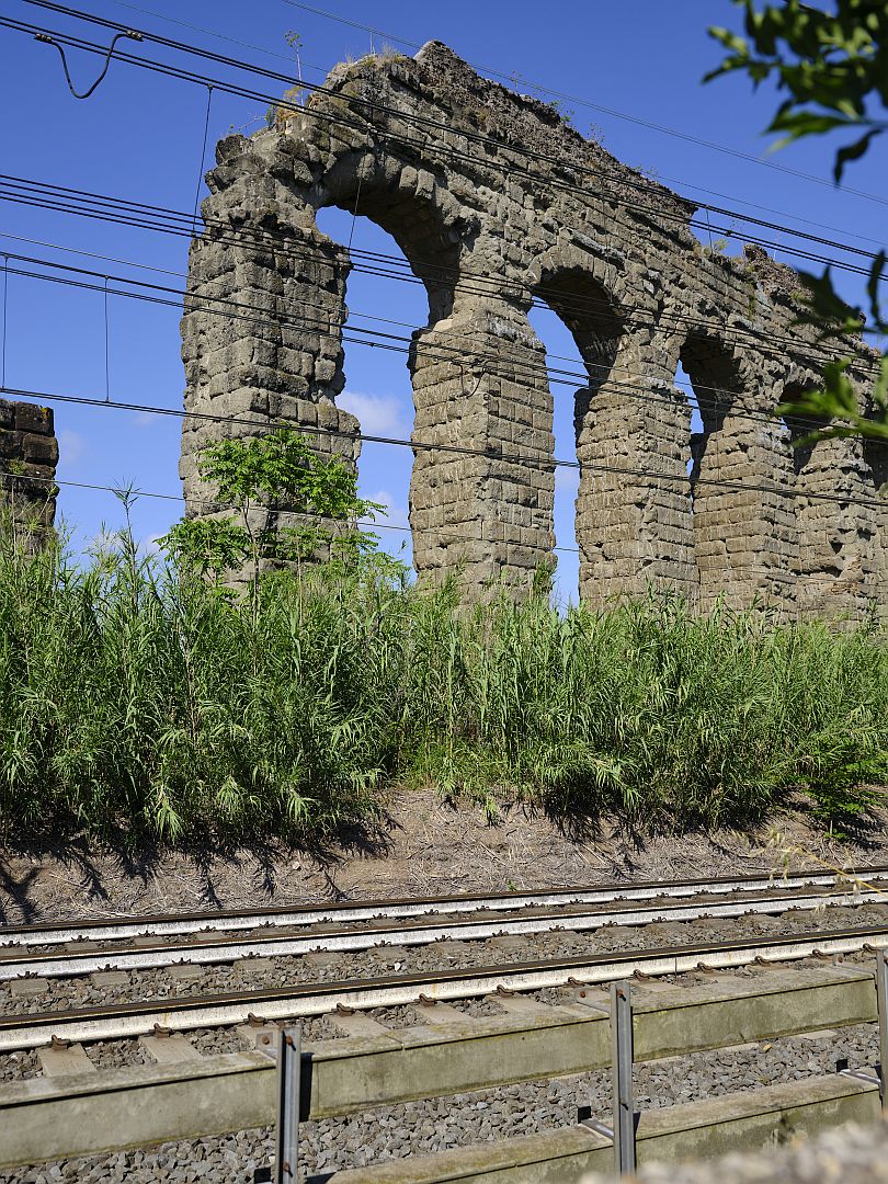
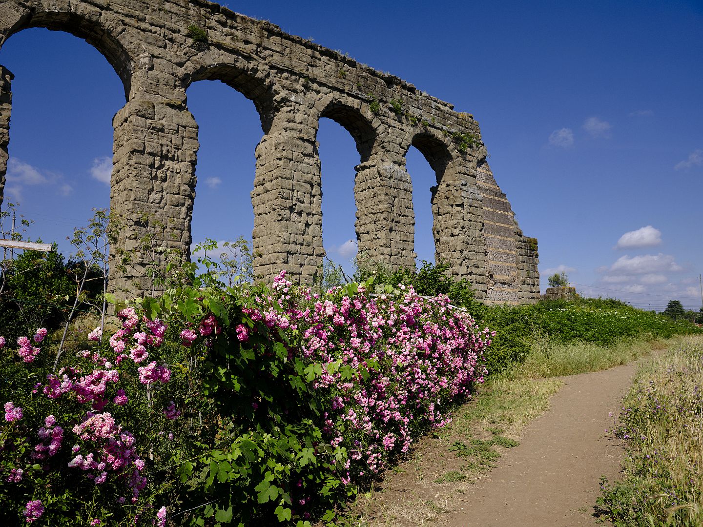
Things started to improve from there, because I turned southeast and started following the Aqua Claudia upstream, as it were, away from the city. I entered an area of land that was still fairly unkempt, but comparatively free from man-made ugliness, and featuring some other archaeological sites of interest.
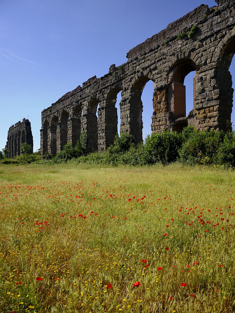
So what was the Claudian Aqueduct? While the name implies that it was built in the reign of the Emperor Claudius, it was started by his predecessor Caligula and completed in the later part of Claudius’ reign in 52 AD.
The helpful Roman habit of stamping inscriptions into bricks before they were fired allows them to be dated, and tells us that the aqueducts were regular repaired, presumably from normal deterioration. But Belisarius also had the Aqua Claudia repaired after it was deliberately damaged by the Goths in the 6th Century.
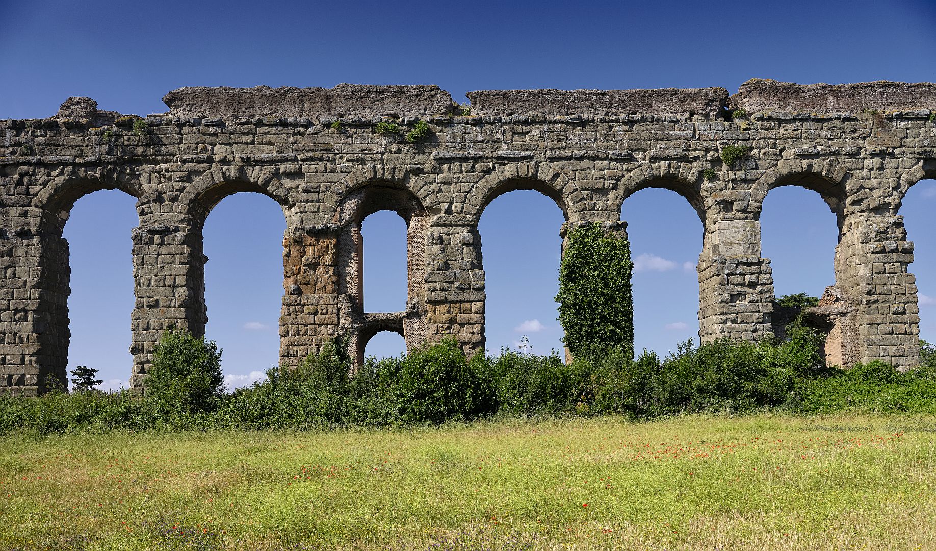
For some of its length, the Aqua Claudia actually carried a second aqueduct on the same structure. If you look at the map above, you can see another aqueduct called the Aqua Anio Novus, marked in blue, which merges with the red of the Claudia, just before they both turn north. The Roman engineers simplified the task by building a second conduit for the Anio Novus directly over the conduit for the Claudia. That makes a lot of sense – after all, someone had already done the difficult work of survey and design.
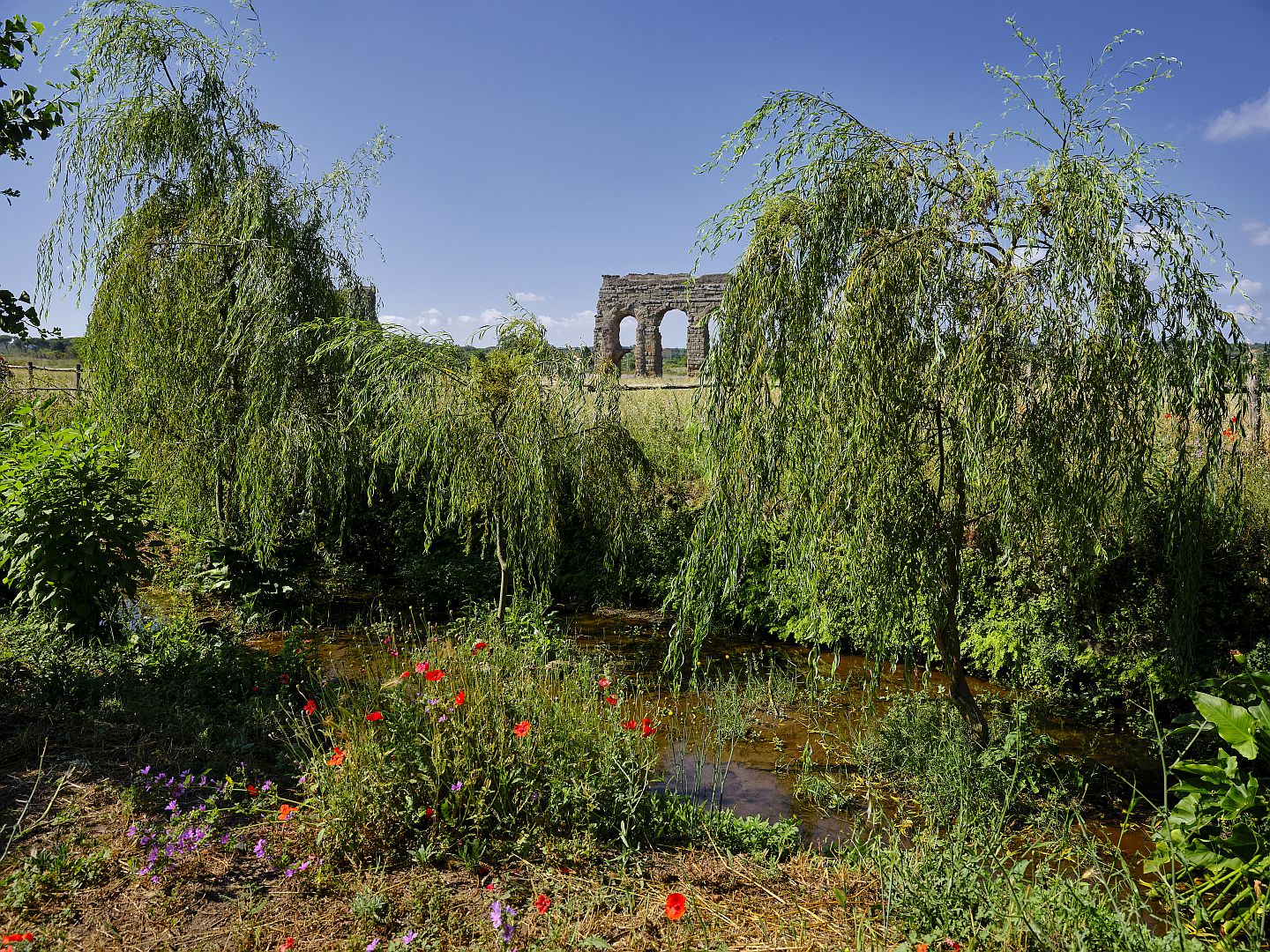
As I continued southeast, the park became more manicured, and busier, although most other users were joggers and dog walkers – I did not see any other obviously foreign visitors. At one point I came upon a little lake where a group of local volunteers had fired up a petrol-powered water pump and were starting a working bee. The pump was drawing water from a stream that ran parallel to the aqueduct. This stream, variously called the Acqua Mariana, the Acqua Marana or the Acqua Marciana, is in fact a canal, built in the 1100s. Although medieval Rome lacked the capacity to repair or build aqueducts, it still need water, so under Pope Callixtus II this artificial waterway was dug to channel water from the springs in the hills towards Rome.
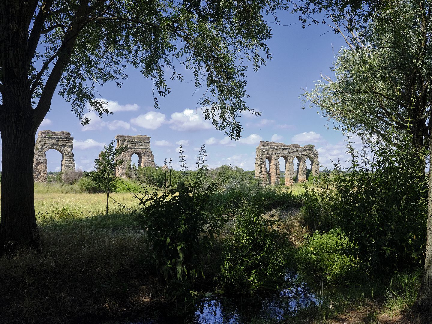
The water in the Acqua Mariana was flowing rather slowly in the day in early June when I was there; I assume that it is some centuries since it was kept in good condition. But it makes a pretty foreground for photographs of the Aqua Claudia.
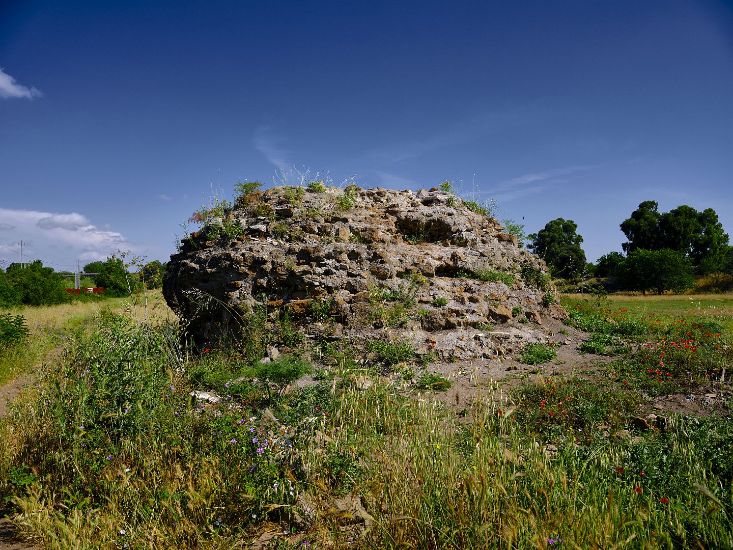
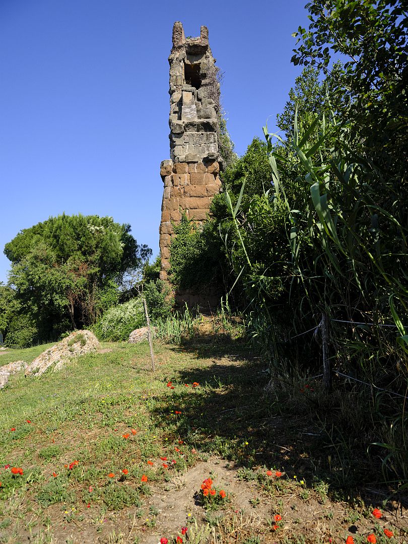
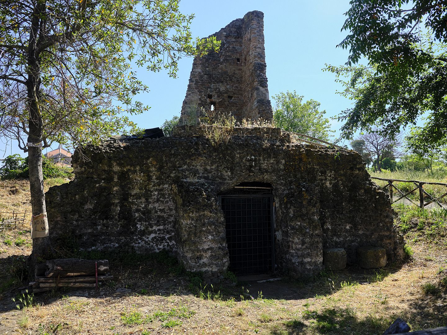
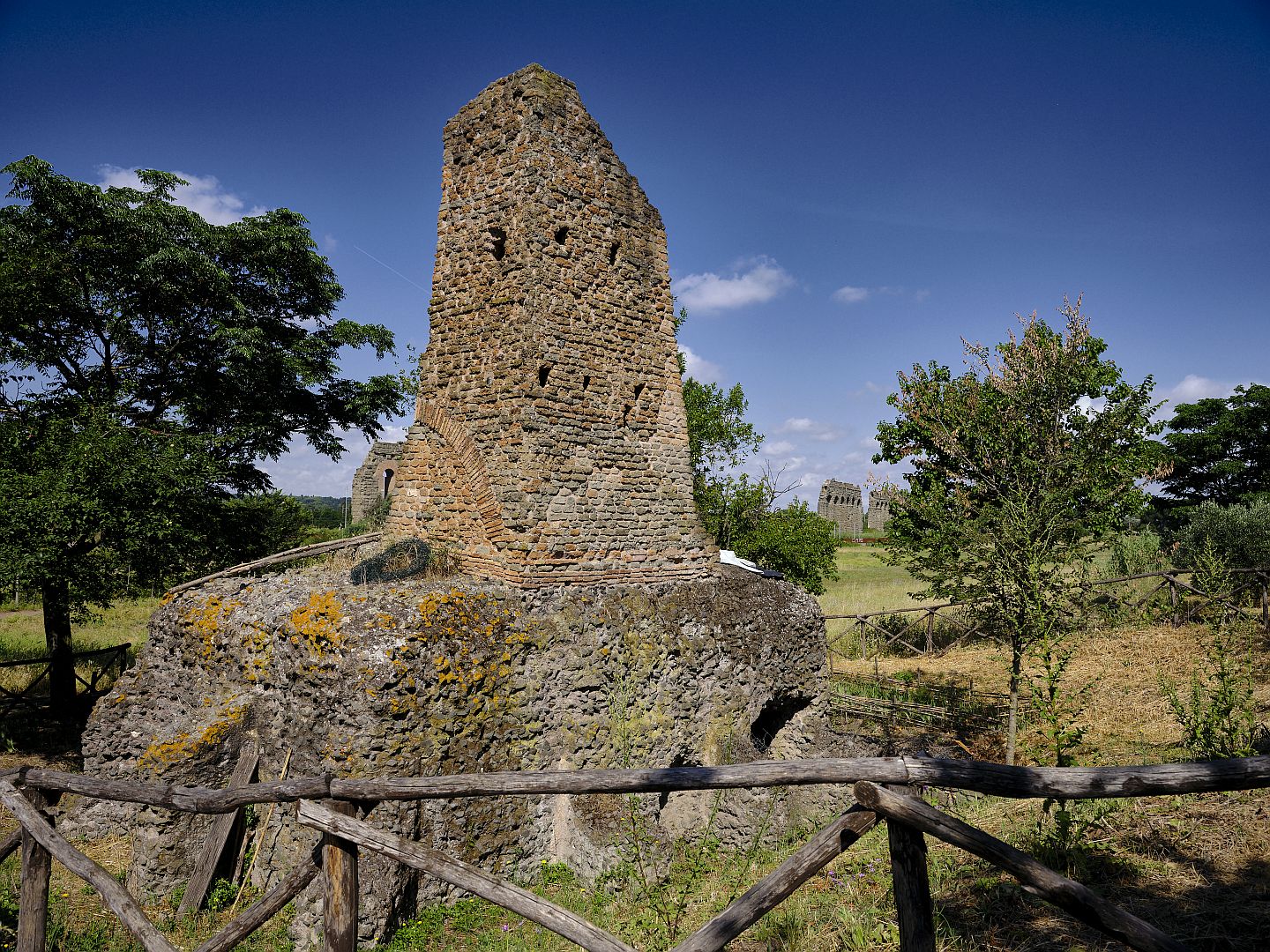
Not long afterwards I came upon a strange-looking structure. Poking around a bit I found a sign describing it as a medieval watch tower on top of a Roman cistern. With that information it made a lot more sense. Medieval Rome was a fraction of the size of its ancient predecessor, and this spot would have been well outside the city limits. The plain traversed by the aqueducts would have made an easy approach to Rome, and guards would be needed to warn of such approaches, or perhaps to collect tolls.
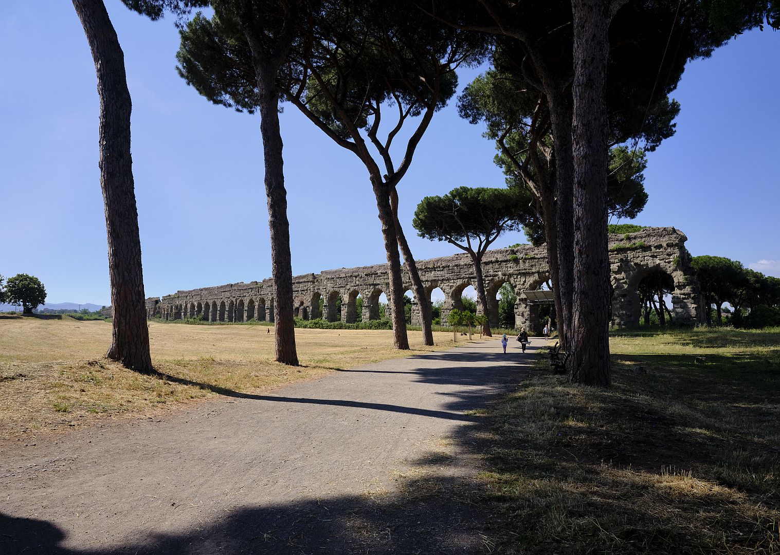
Continuing a little further, I got to a part of the park where the Acqua Claudia and the Aqua Felice were quite far apart and diverging further. At this point the ground had been rising steadily since I started walking, and so – since the gradient in the direction of flow had to be gradual – the Claudia arches were becoming less tall.
The Via Latina
At this point Google Maps told me that nearby were remains of the Via Latina, so I headed north for a bit to investigate those. What was the Via Latina? It was an ancient road south from Rome, but it wasn’t, like the Via Appia, a “consular” or purpose-built military road. Instead, it was a road between towns that predated the Romans by centuries. Such roads emerged organically, as it were, not on a draughtsman’s table but by being the aggregation of a series of roads, each of which was the easiest way to get from one town to the next. As the name suggests, this was a road connecting cities of the Latin peoples, of which Rome was one.
While having less status than a military road, a road like the Via Latina was important for trade and administration, and so was upgraded and maintained by the Roman government at public expense. I have discussed this distinction before when talking about the Via Amerina and the Via Flaminia in Umbria.
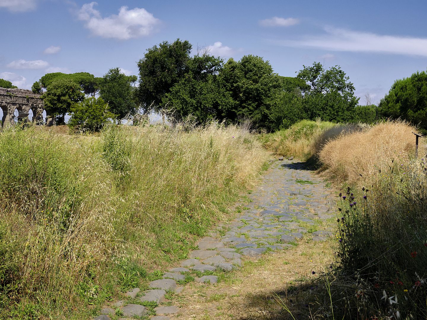
One thing about such “lesser” roads is that because they had a natural reason to exist at a local level – that is, connecting one town with the next – they often continued to exist in some form after the fall of the empire, while the “greater” military roads might fall into disuse.
The Aqua Felice
Retracing my steps back in the direction of Rome, and towards where I had parked the car, I took a closer look at the Aqua Felice. When I had first come across the name I assumed that this was because it took its name from some ancient Roman called Felix – but I was wrong.
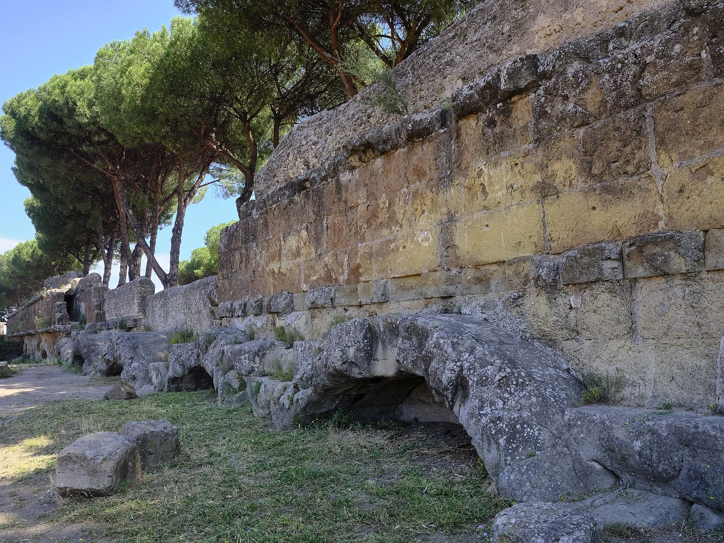
The “Felix” in question was one Felice Peretti, who on becoming Pope took the name Sixtus V. He was a great builder, responsible for much of the Renaissance architecture and town planning of Rome. In 1585, after taking possession of the Palace of St John Lateran, he commissioned this new aqueduct to bring water to the districts of Quirinale and Viminale.
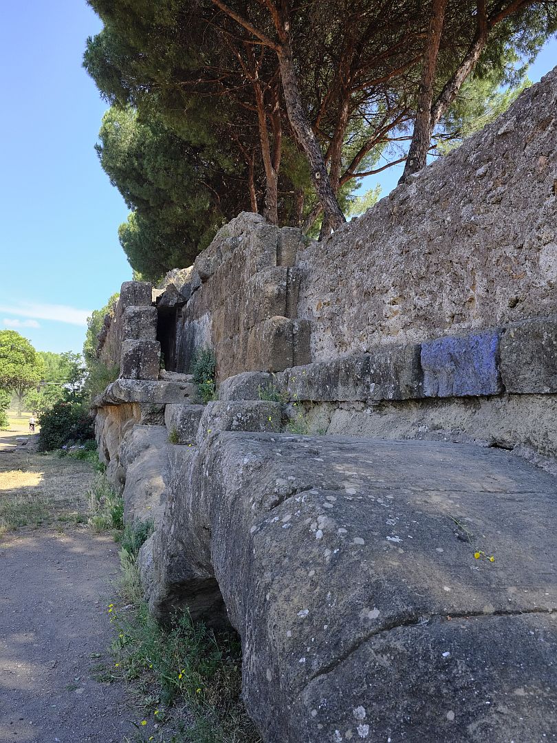
This was not just the act of a Pope who liked seeing his name on things, it was a big step forward into the modern world. An aqueduct 24 kilometres long like this had to be built with a constant slope – enough that the water would flow in the right direction at the correct rate, neither too fast or too slowly. This required sophisticated techniques in surveying, design, and construction. And it was at least a thousand years, probably more, since society had possessed these skills.
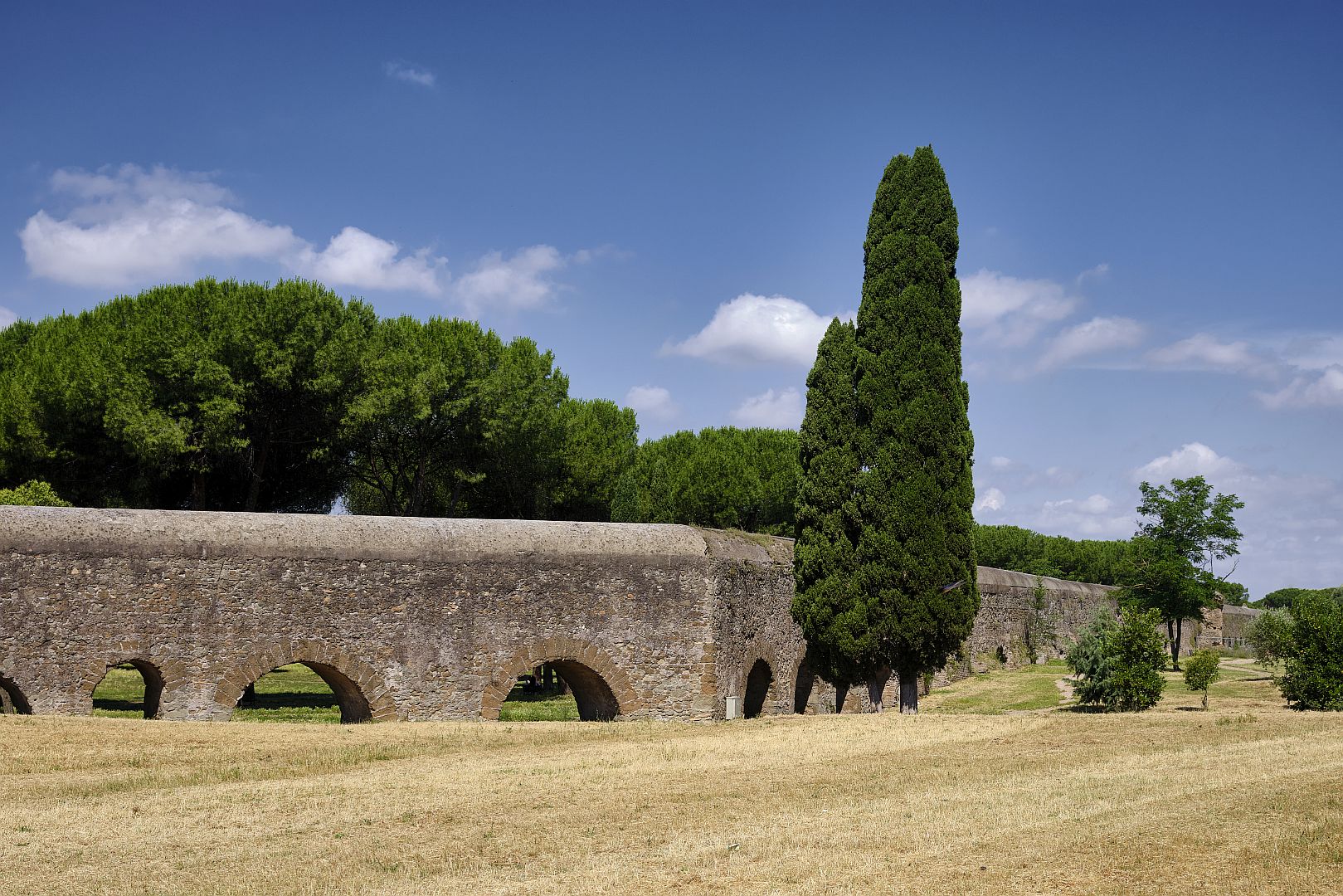
Of course it wasn’t a complete re-invention of the full range of engineering disciplines of antiquity – in fact, much of the construction of the Felice was achieved by re-using bits of ancient aqueducts and other buildings that had fallen down. Nonetheless they had the confidence to try. And they had to try a couple of times, because the first architect made some design mistakes which would indeed have had the water flowing in the wrong direction (he was replaced). But I am imagining that every time the Renaissance architects encountered setbacks, they would have looked across at the much larger Aqua Claudia, and thought “well, they could do it, so it must be possible”.
The Villa delle Vignacce
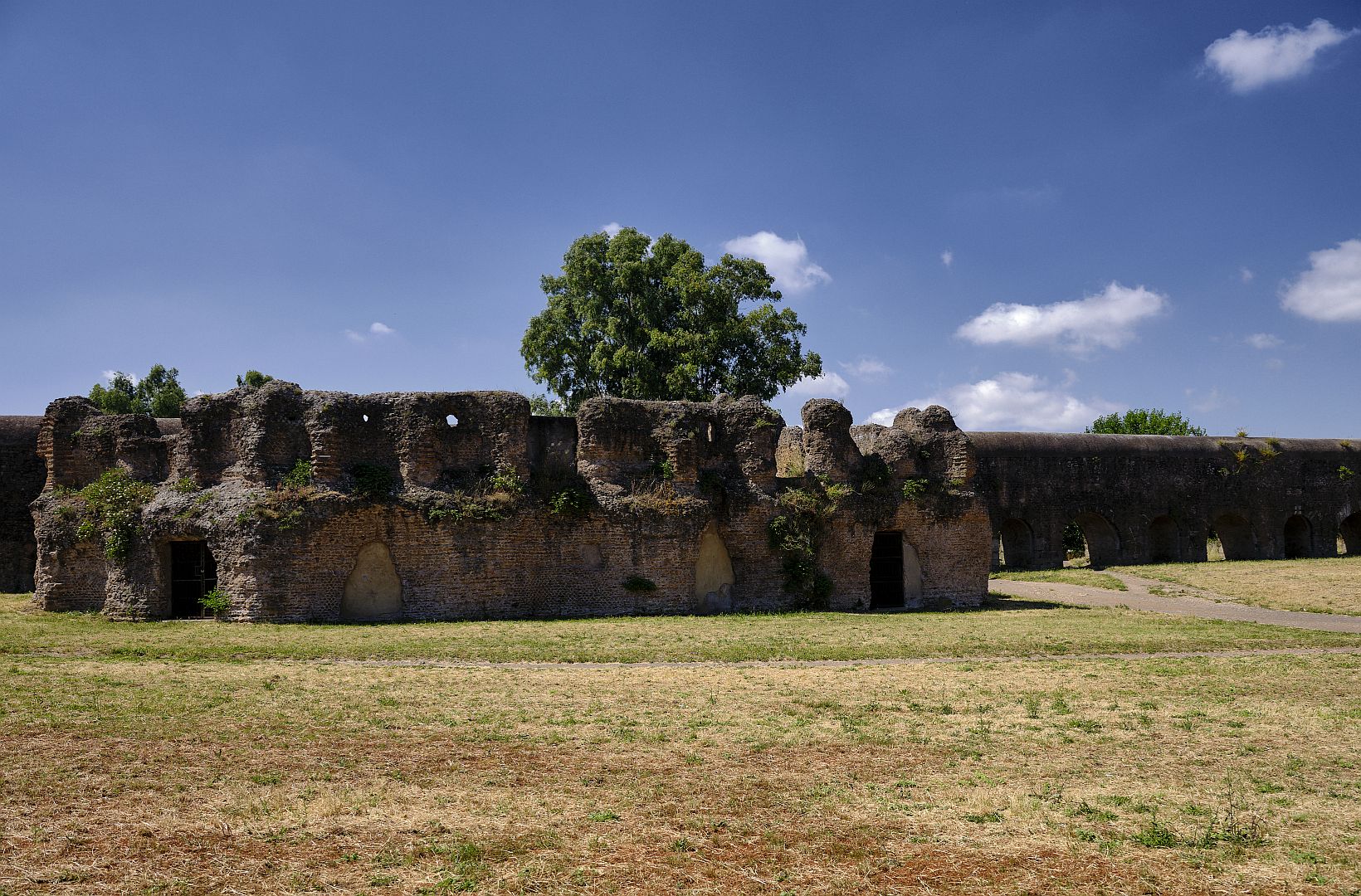
I was almost back at the car when I encountered what, to my untutored eye, seemed to be the remains a fairly high-class dwelling. And so it proved to be. The “Villa delle Vignacce” is named not from anything to do with its origins, but because at some point in its later history it was surrounded by vineyards.
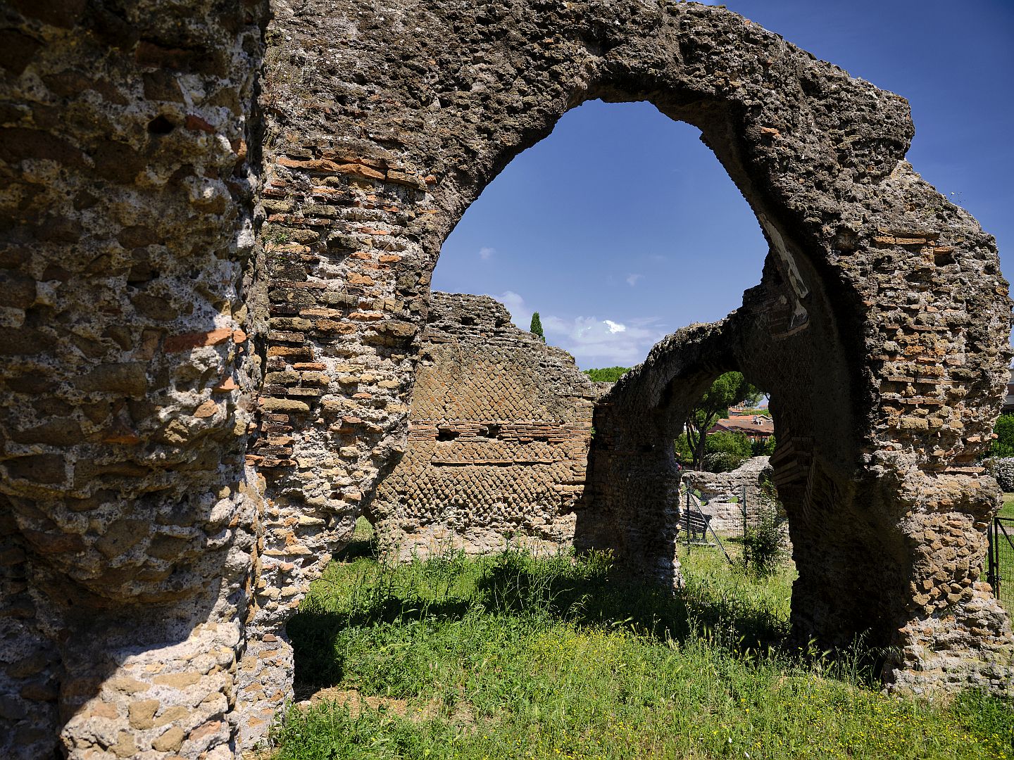
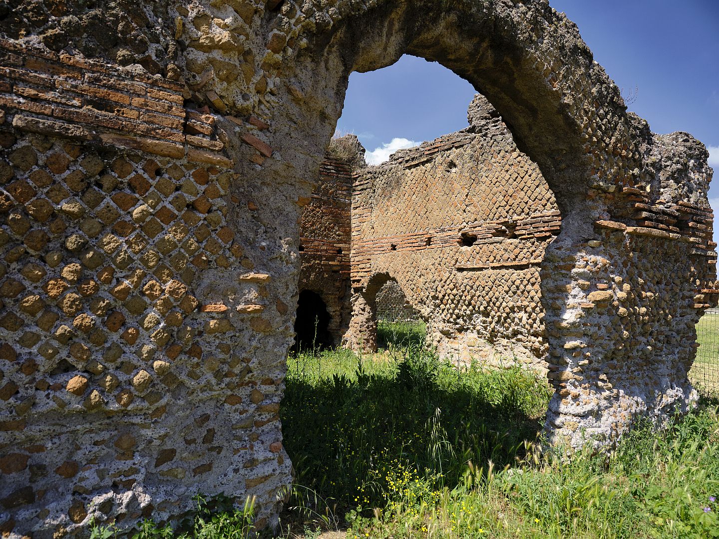
In fact it is thought to have been owned by a very successful businessman named Quintus Servilius Pudens. He was a brick manufacturer who got contracts for several large imperial projects, including Hadrian’s “villa” (which is the size of a small city) near Tivoli. We’ve been there and you can read about it here – it would have needed a lot of bricks.
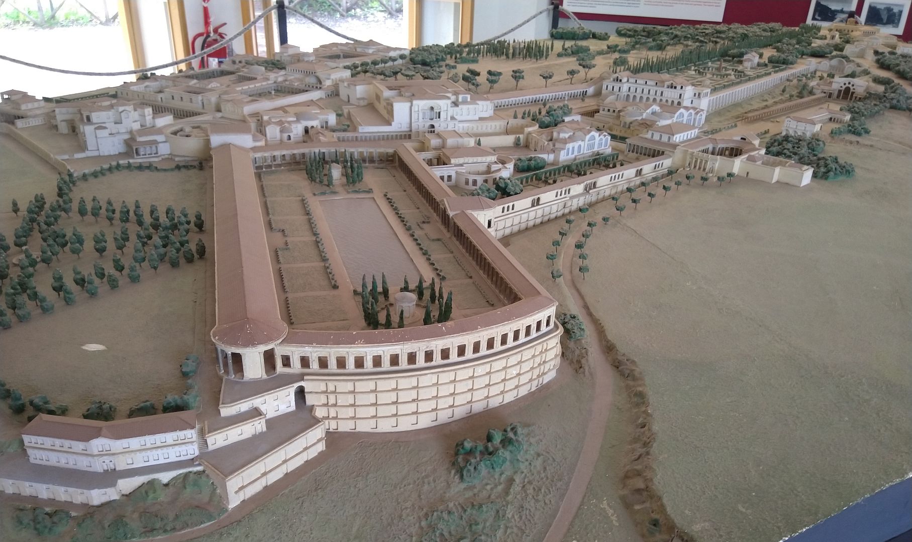
The Villa delle Vignacce would have been well outside the city boundaries, so it was in fact a rural estate, with its own bath complex, gardens, fountains and so on. Despite the fact that the Aqua Claudia was piping all that water past, the Villa had no way of accessing it and had to have a large cistern to store its own supply.
Here’s a final thought. On a hot day many a modern Roman, and those tourists in the know, will have drunk from, or filled their bottles from, the famous cast-iron drinking fountains throughout the city. Romans call these nasoni or “big noses” from the shape.
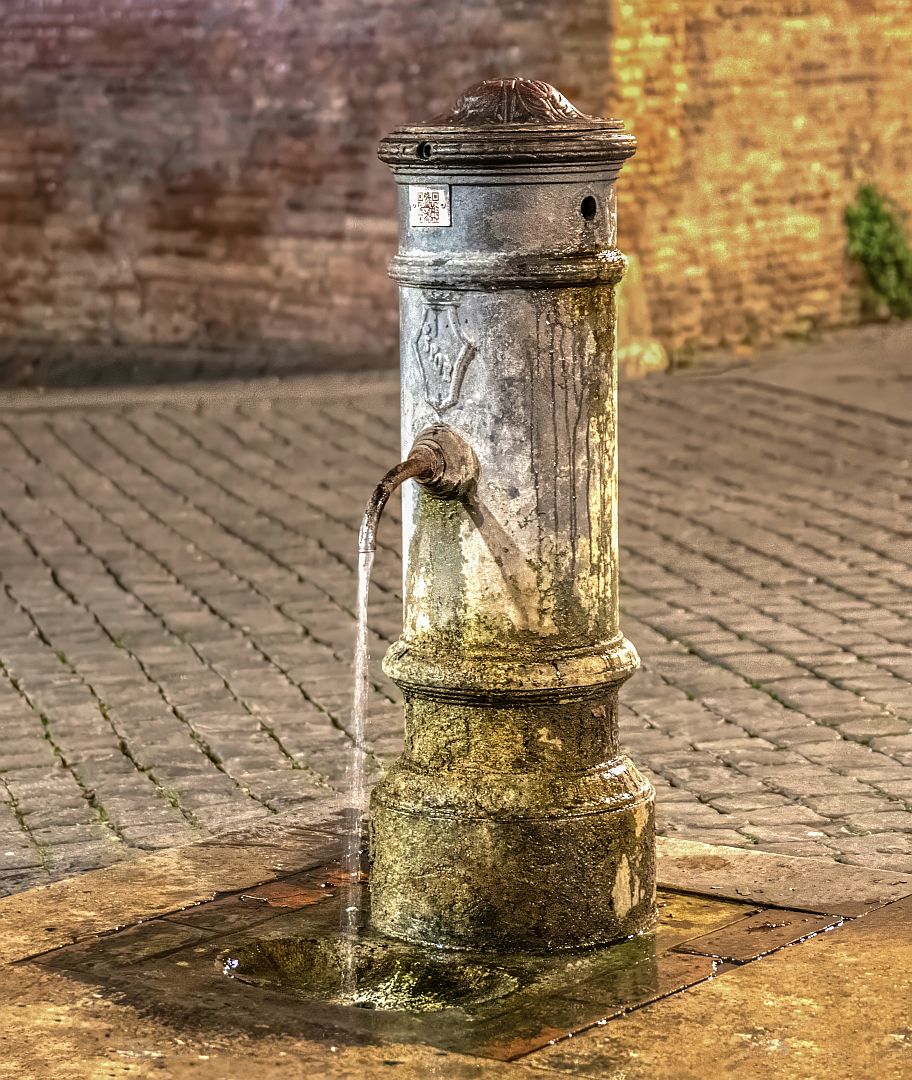
The water is cold and clean. And although it comes from the public water supply, it originates from the same springs at the base of the Apennines that fed the Aqua Claudia and all the other aqueducts. So on those hot summer days, thousands of Romans and visitors to Rome are doing exactly what their predecessors did two thousand years ago.
Note: depending on what source you consult, you may find the Claudian Aqueduct called the “Aqua Claudia” (Latin for Water of Claudius) or the “Acquedotto Claudio” (Italian for The Aqueduct of Claudius). For the sake of consistency I have gone with the Latin in this article.