In the sleepy countryside on the border between Tuscany and Umbria, the towers of Beccati Questo and Beccati Quello testify to past conflicts. And quite possibly the locals’ sense of humour as well.
This is a continuation of my previous post on Lars Porsena of Clusium, but I decided to make it separate so as not to complicate a post about the ancient Etruscans with something about medieval and Renaissance water politics. It will however be quite short.
Edit, August 2023: this post now has a companion piece – Cospaia, the Accidental Republic.
Before unification in 1861, the various Italian states were separate countries with their own rulers, laws and, to varying degrees, languages. It is hard for modern visitors to register this as they flash past a sign saying TOSCANA beside the autostrada, but 18th-Century grand tourists were well aware of it. South of Siena, travellers from Florence to Rome, on leaving the Grand Duchy of Tuscany and entering the Papal States, would have to unload all their luggage for customs inspections, show passports, pay duty on goods, and possibly have books confiscated if the border guards suspected they might be heretical Protestant tracts.
Earlier on in the Middle Ages, territories might be associated with city-states and could be much smaller than they became later. In central Italy, Siena, Florence, Perugia, Assisi and similarly-sized towns were all independent and frequently at war. What would have been just a customs post in the 18th Century might have been a border fort in the 12th.
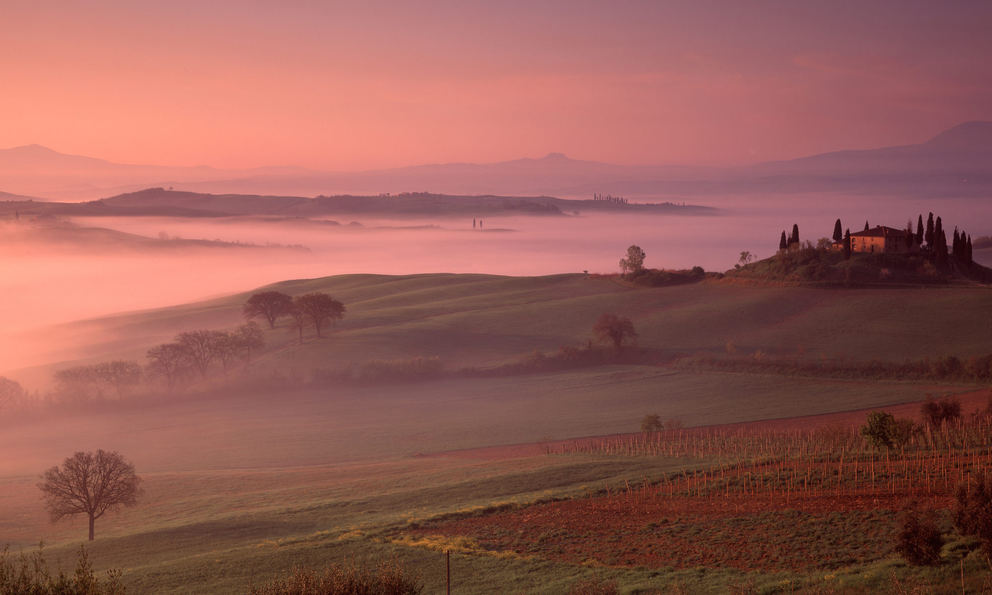
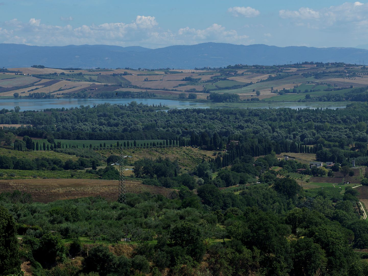
Sitting on such a border, between the territories of Siena and Perugia (in modern terms, the regions of Tuscany and Umbria) and just near the town of Chiusi, is a lake of the same name. Today Lago di Chiusi is fairly small and rather attractive, surrounded as it is by the rolling country of the Valdichiana. In prehistoric times the lake was huge and covered all the low-lying area, while in antiquity as now the waters of the area were carefully managed to drain them away from agricultural land.
By the early Middle Ages however, the water management system had gradually broken down until the area flooded again, converting a large area of productive farmland into malarial swamps and closing some important overland routes. The latter was one reason for the rise of the more westerly road that became the Via Francigena. Water drained out of the swamps in two directions, northwards into the Arno or southwards into the Tiber. This dual drainage meant that the area was strategically important to both Florence and Rome.
Water Politics
In the 14th Century, starting near the town of Arezzo, people – often monastic communities – began to build dykes and canals again to try and harness the waters, mainly to provide power for mills. Such efforts were piecemeal and done without much understanding of the overall hydrology of the area, and they usually made the situation worse in other parts of the valley.
Unfortunately, as people’s understanding of the science and engineering improved, this knowledge was often used for military purposes. During a war between Florence and Pisa, Leonardo da Vinci came up with a plan to divert the course of the Arno away from Pisa and thus destroy its commerce (it didn’t work).
In the Valdichiana, Papal and Florentine forces created or destroyed earthworks and canals in order to cause flooding in each other’s territory, or deny water to agriculture. As late as 1598, a major flood in Rome was blamed – probably unfairly – on works in the Valdichiana undertaken by the Medici.
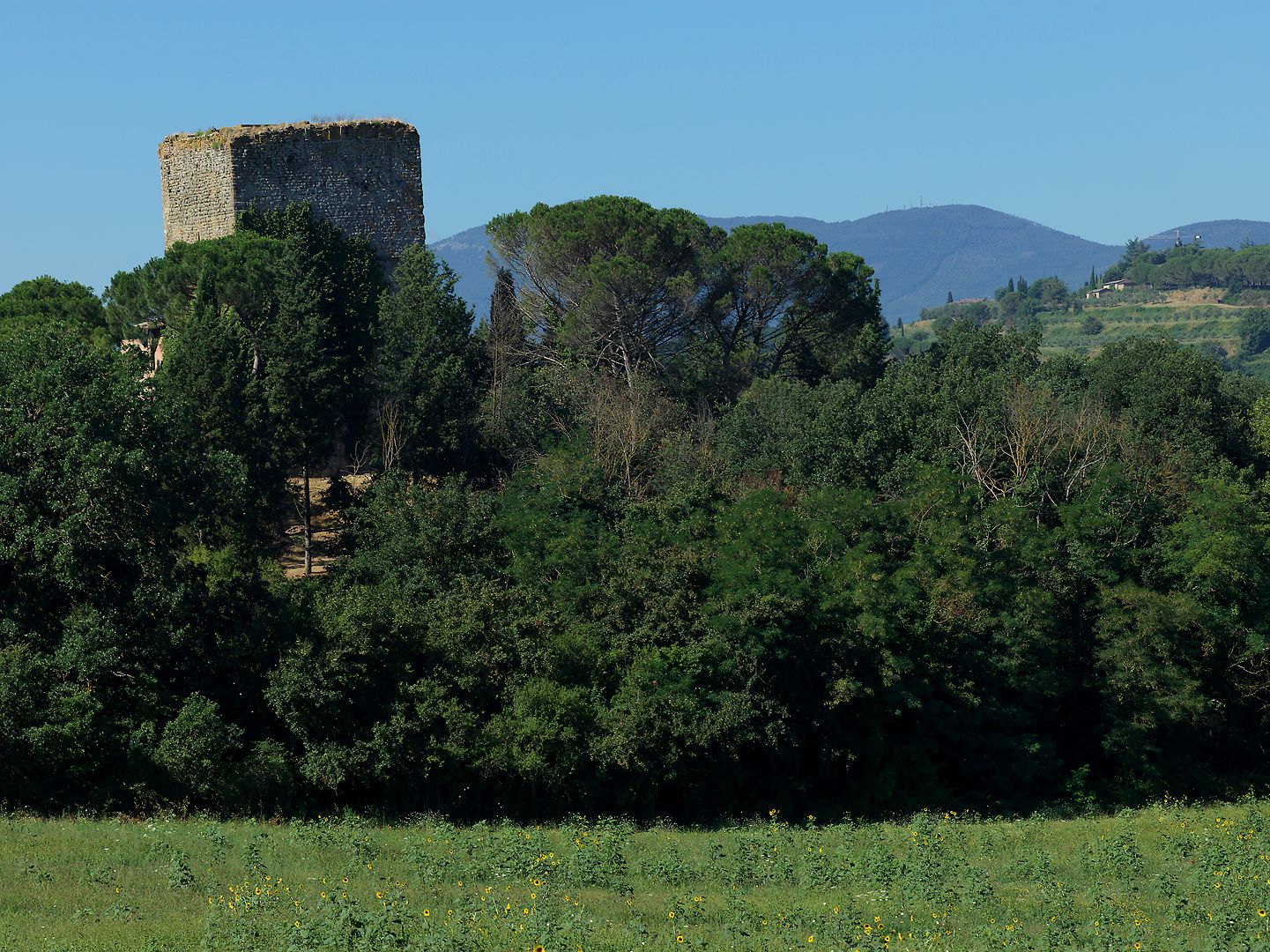
So it will come as no surprise that, as dry ground emerged from the receding swamp, fortified towers started to appear at various points. The first we know of was built by Siena in the 13th Century, and its belligerent purpose was made clear by the name it acquired: Beccati Questo!, or “take this!”.
Not surprising either that when the Perugians erected their own tower a short distance away, it was known as Beccati Quello!, or “take that!”.
The original Sienese tower had to be rebuilt a couple of hundred years later, and the new Renaissance one is much smaller and daintier than the medieval Perugian tower which still stands – albeit not entirely vertical. Perhaps the soil beneath was not yet dry enough to make a stable base to build on.
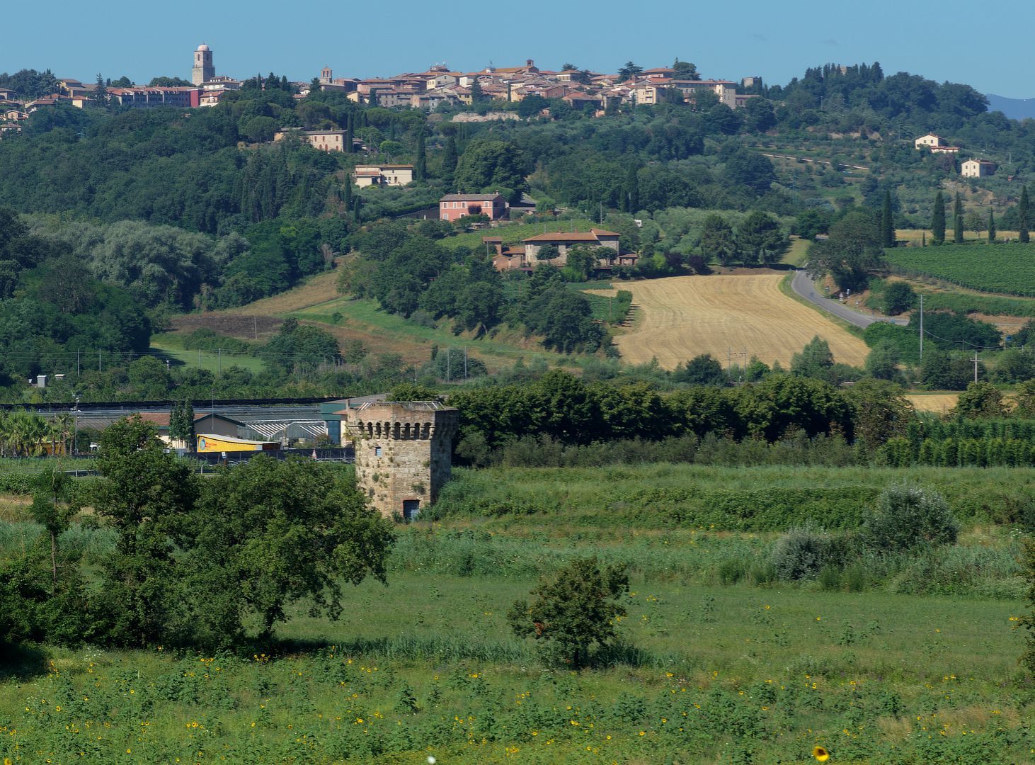
I have not been able to find reports of the towers featuring in any military actions. It would seem that the main use of the towers over the centuries until Italian unification was to collect tolls and customs duties.
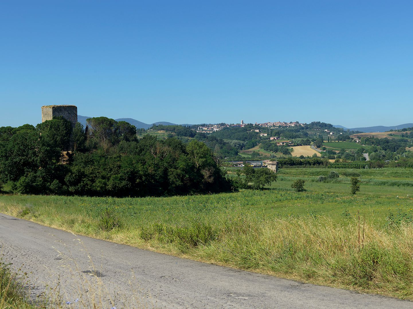
Now they sleep in the Valdichiana, surrounded by canals, dykes and, in summer, fields of sunflowers. The road which they once guarded is now a quiet back road . The tolls have not gone away though – they are now collected as you exit the motorway.
One Reply to “Take this! Oh yeah? Take that!”